Alliance Engineering & Planning joins LJA
Houston, TX – LJA has further expanded in Georgia and Alabama with the addition of Alliance Engineering & Planning LLC (AEP). AEP is a multi-disciplinary engineering and surveying firm headquartered in Alpharetta, Georgia with satellite offices in Buford, Georgia and Huntsville, Alabama.
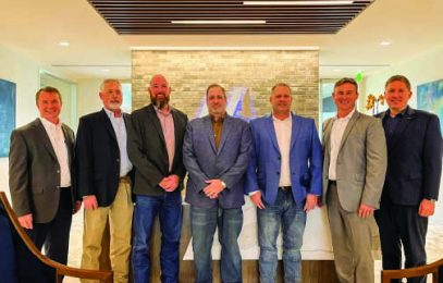
Alliance Leadership
AEP is led by President David Anderson, Vice President Tyler Marchman, and Vice President Mitch Peevy. The company offers its clients an array of services and expertise. These services include civil engineering, land planning, land surveying, and landscape architecture.
“Alliance Engineering & Planning is a young, innovative, and fast-growing land development and surveying firm. They’ve made a significant impact in the communities it serves in the greater Atlanta region,” said James Ross, President and CEO of LJA. “The addition of the AEP team will strengthen LJA’s presence in the state. Adding local expertise and leadership will fuel LJA’s continued growth across the South. We are excited to welcome the AEP team into the LJA family.”

David Anderson added, “We’re thrilled with the opportunity to join LJA. We’ve worked hard to build a great team and take care of our clients, which has led to our rapid success and growth. Nonetheless, we’ve realized that we can be even more successful with the right strategic partner who shares our culture and goals. LJA is that partner – they know what it takes to build a successful business. Their investment strategy complements our growth objectives and their easy-going family atmosphere matches our own. Moreover, as a 100%-employee-owned firm, LJA gives us the platform to provide meaningful ownership to all our staff and a stake in our future success.”
LJA’s and Alliance Engineering & Planning’s combined strength brings new services and capabilities to AEP’s core offerings. These offerings include but are not limited to engineering, surveying, land planning, landscape architecture, LiDAR drone technology, and government relations. AEP’s north-Atlanta and Huntsville locations will expand LJA’s presence to 43 total offices serving markets across the south from Arizona to South Carolina.
##
For More Information Contact:
Donya Edler
Marketing and Communications Director
dedler@lja.com
About LJA
LJA is an employee-owned, full-service, comprehensive multi-disciplinary consulting firm. With offices across the nation, we offer one-source, one-stop reliability for all of our clients, when and where they need us. We operate within eight comprehensive sectors, enabling us to effortlessly assemble successful project teams. These teams consist of but are not limited to civil, structural, and electrical engineers, along with hydrologists, GIS designers, and surveyors.